The Earth is not a stable system—at least not in the ways that matter for satellites, climate models, or high-latitude infrastructure. Two regions illustrate this instability better than any others: the South Atlantic Anomaly (SAA) and the polar zones.
Both are undergoing measurable, sometimes abrupt changes that demand close, continuous monitoring. Not because they’re exotic, but because they sit at the intersection of geomagnetism, climate physics, and operational risk.
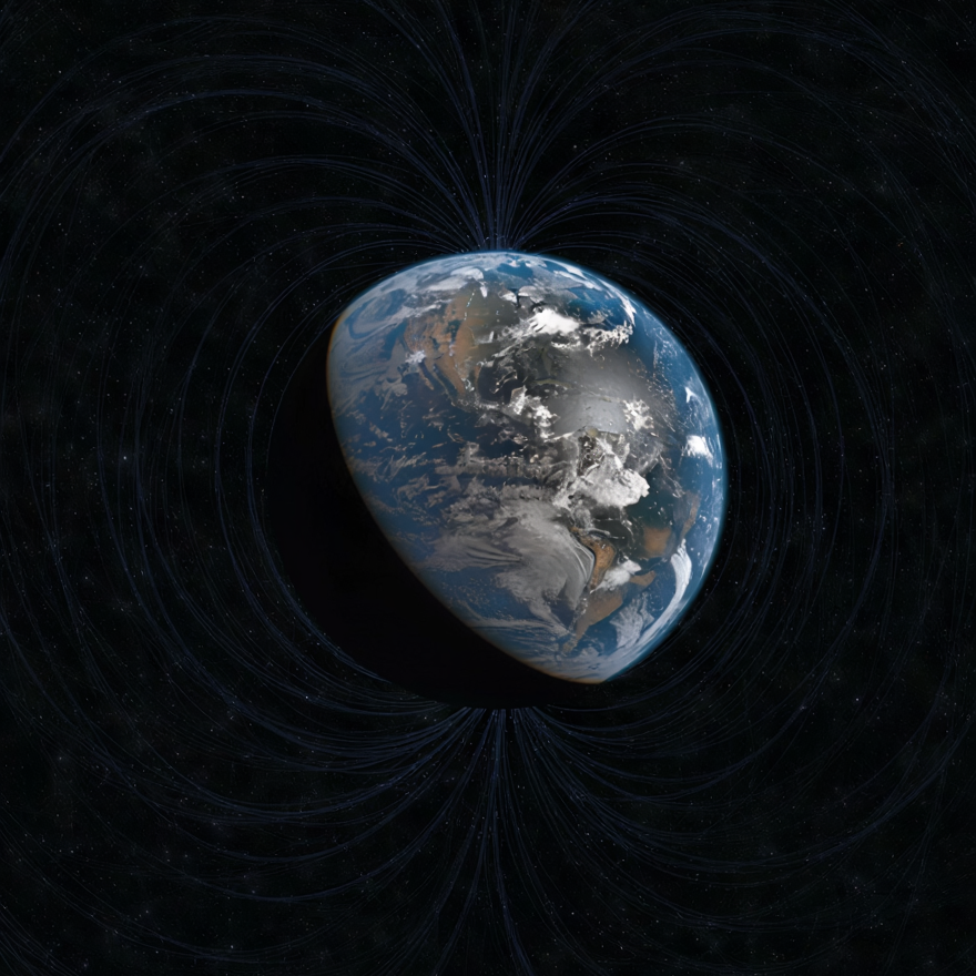
The SAA is a region where Earth’s magnetic field is significantly weaker than its global average. Currently centered near the coast of Brazil, this area allows high-energy charged particles from space to penetrate closer to the Earth’s surface, posing heightened risks to satellites and low Earth orbit operations.
The anomaly isn’t static—it’s growing and drifting westward. Recent data from ESA’s Swarm mission reveals that the SAA is no longer a single depression but appears to be splitting into multiple zones of minimum intensity.
This bifurcation challenges the idea of a symmetrical dipole field and reinforces the role of complex fluid dynamics in Earth’s outer core. It also complicates planning for satellite constellations, especially those in sun-synchronous orbits.
The impact isn’t abstract. Instruments like Hubble preemptively shut down sensors when passing through the SAA. CubeSats in low orbits without sufficient shielding experience memory corruption, known as single-event upsets (SEUs), with higher frequency in this region. Soft error rates, power anomalies, and hardware degradation are all elevated during transits through the anomaly.
From a modeling perspective, the SAA raises questions about long-term magnetic field behavior. Some geophysicists see its westward drift and deepening intensity as possible early indicators of a geomagnetic reversal—a process that, while unlikely on human timescales, would fundamentally reshape Earth’s radiation environment.
The Arctic and Antarctic are structurally different but share one feature: their open magnetic field lines allow direct interaction with solar and cosmic radiation. This makes the poles natural entry points for energetic particles and a focus area for both climate and radiation monitoring.
During solar storms, these regions experience polar cap absorption events—disturbances in the ionosphere that lead to widespread disruptions in radio communication. Airlines rerouting polar flights is no longer rare, especially during solar maxima.
In one notable example, a January 2022 solar event triggered an alert for elevated radiation doses on multiple commercial aircraft over the Arctic, prompting coordinated flight level adjustments.
But the polar challenge extends beyond radiation. These zones are also among the fastest warming on Earth. ICESat-2 and CryoSat-2 data confirm a continuing trend of sea ice thinning and loss of grounded ice mass.
For instance, Pine Island Glacier in West Antarctica continues to retreat at close to 1 kilometer per year. Surface deformation data, combined with gravimetric shifts detected by GRACE-FO, provide compelling evidence of accelerating mass loss—affecting sea level models and atmospheric circulation patterns globally.
For satellite operators, the stakes are technical but real. Increased drag on low-orbiting satellites near the poles during geomagnetic disturbances shortens mission life and complicates orbit prediction. For missions relying on consistent altimetry or radar measurements, rapid shifts in ice elevation and surface texture affect calibration and data interpretation.
Both the SAA and the polar regions demand high-resolution, real-time observation. This isn’t only for scientific curiosity—it’s for engineering resilience, risk modeling, and climate forecasting. Data needs to be integrated across altimeters, magnetometers, particle detectors, GNSS radio occultation profiles, SAR platforms, and radiation dosimeters.
This is part of what we at Mission Space are building: a dedicated platform combining in-orbit sensors and predictive models focused specifically on the radiation and magnetic environment around Earth.
Understanding Earth’s instability is no longer the domain of a few specialized agencies. The satellite economy, polar infrastructure, climate policy, and even telecommunications depend on it. And these regions—the SAA and the poles—aren’t edge cases. They’re leading indicators.